Demonstrating the Power of DJI M350 and L2 LiDAR
Location - Matatmata 2024
Introduction
In an era where precision and efficiency are paramount, the integration of advanced technologies like drones and LiDAR systems is revolutionizing various industries. Recently, Grant from Drone Depot had the privilege of demonstrating the capabilities of the DJI M350 drone paired with the cutting-edge L2 LiDAR system to a small personalised group of eager customers. This demonstration showcased how these tools can transform their operations, offering unprecedented accuracy and efficiency.
The DJI M350: A Versatile Aerial Platform
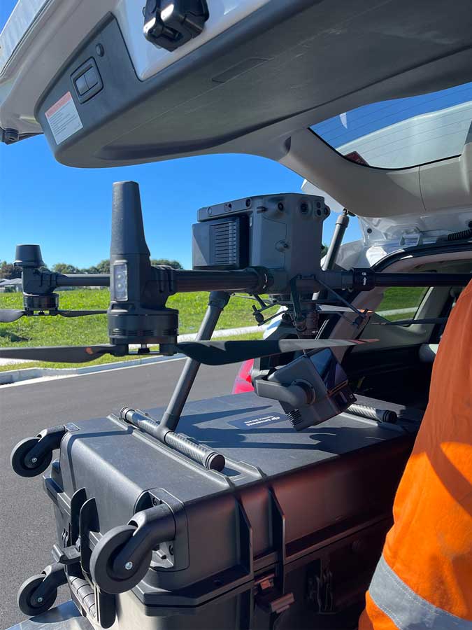
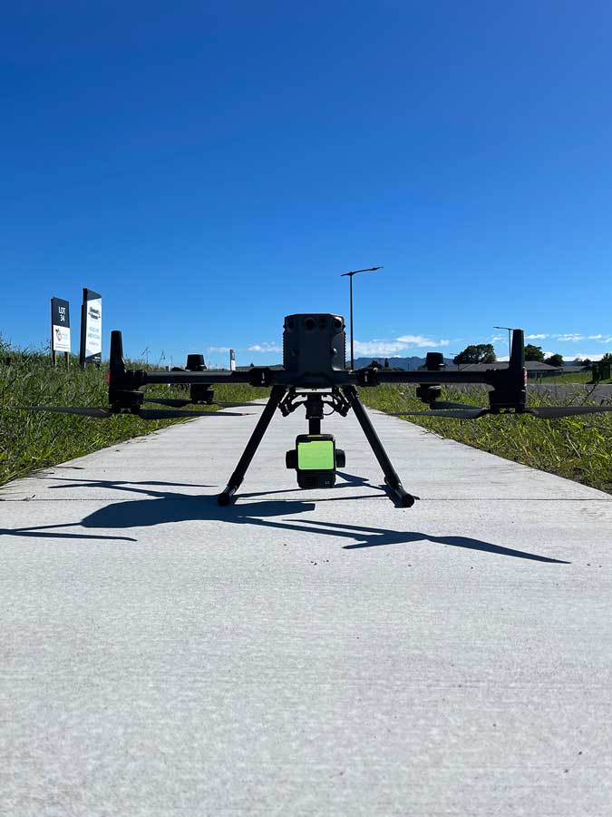
The DJI M350 is a robust, versatile drone designed to meet the demanding needs of professional applications. With its advanced flight capabilities, high payload capacity, and enhanced stability, it serves as an ideal platform for integrating sophisticated sensors like the L2 LiDAR.
Key Features of the DJI M350:
- Extended Flight Time: Capable of up to 55 minutes of flight time, ensuring ample duration for comprehensive data collection.
- High Payload Capacity: Supports a variety of payloads, including the L2 LiDAR system, cameras, and other sensors.
- Enhanced Stability and Precision: Features advanced GPS and stabilization technologies, ensuring accurate and stable flight even in challenging conditions.
The L2 LiDAR System: Precision Redefined
The L2 LiDAR system represents the pinnacle of LiDAR technology, offering high-resolution, accurate 3D mapping and terrain modeling. Its integration with the DJI M350 enhances data collection capabilities, providing detailed and precise information for various applications.
Key Features of the L2 LiDAR:
- High-Resolution Data: Delivers detailed 3D models with precise measurements, crucial for applications such as surveying, construction, and environmental monitoring.
- Wide Area Coverage: Capable of covering large areas quickly, making it ideal for extensive survey projects.
- Advanced Data Processing: Equipped with sophisticated software for efficient data processing and analysis, providing actionable insights in real-time.
The Demonstration: A Glimpse into the Future
Our recent demonstration aimed to highlight how the synergy between the DJI M350 and L2 LiDAR can elevate operational capabilities. Here’s a step-by-step overview of the demonstration:
1. Pre-Flight Preparation
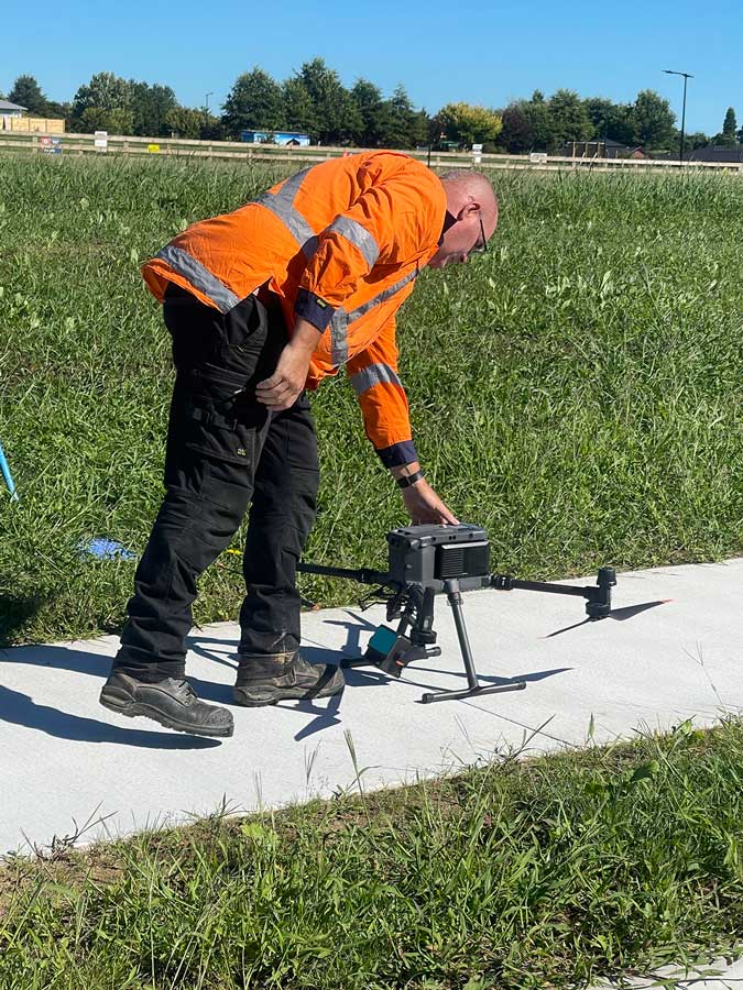
We began by briefing our customers on the day’s agenda, emphasizing the importance of pre-flight checks and planning. The drone and LiDAR system were meticulously inspected, ensuring all components were functioning optimally.
2. Mission Planning
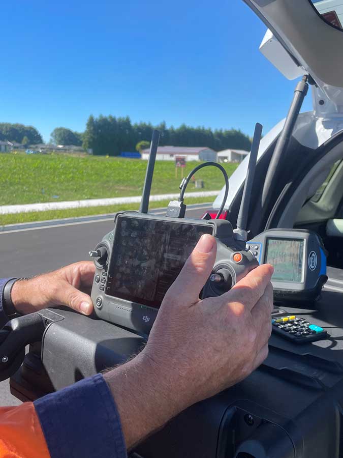
Using advanced mission planning software, we designed a flight path that would maximize data collection efficiency while covering the target area comprehensively. The parameters were set to demonstrate the high-resolution capabilities of the L2 LiDAR.
3. Takeoff and Flight
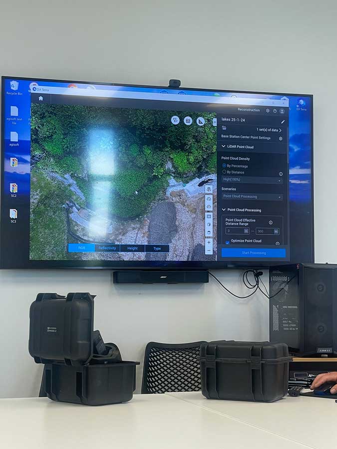
With the plan in place, the DJI M350 took off smoothly, carrying the L2 LiDAR system. Our customers were impressed by the drone’s stability and precision, even in moderate wind conditions. The real-time data feed from the LiDAR system was displayed on a monitor, showcasing the high-resolution 3D mapping in progress.
4. Data Collection and Analysis
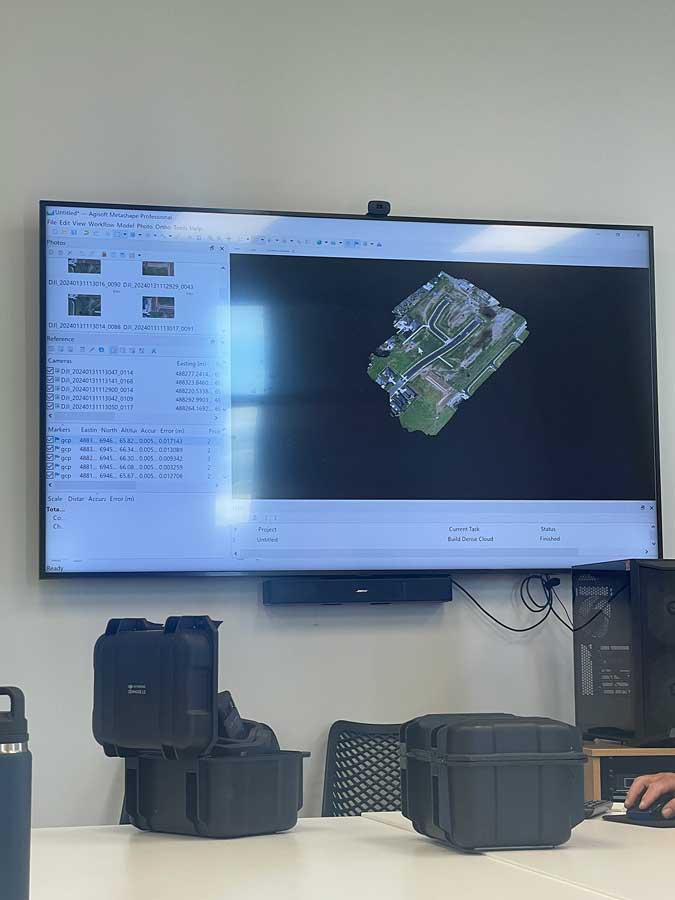
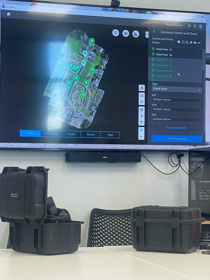
As the drone completed its flight path, the L2 LiDAR system collected vast amounts of data, capturing intricate details of the terrain below. Once the flight was completed, the data was processed using the advanced software provided with the L2 LiDAR. Our customers were able to see the transformation of raw data into actionable insights, highlighting the system’s efficiency and accuracy.
Customer Feedback
The response from our customers was overwhelmingly positive. They were particularly impressed by the seamless integration of the DJI M350 and L2 LiDAR, and the clarity and precision of the data collected. Many of them expressed interest in incorporating these technologies into their own operations, recognizing the potential for increased efficiency and cost savings.
Conclusion
The demonstration of the DJI M350 drone and L2 LiDAR system underscored the transformative potential of these technologies. By providing high-resolution, accurate data in a fraction of the time required by traditional methods, they are set to revolutionize various industries. We are excited to continue exploring the possibilities and helping our customers harness the power of these innovative tools.
