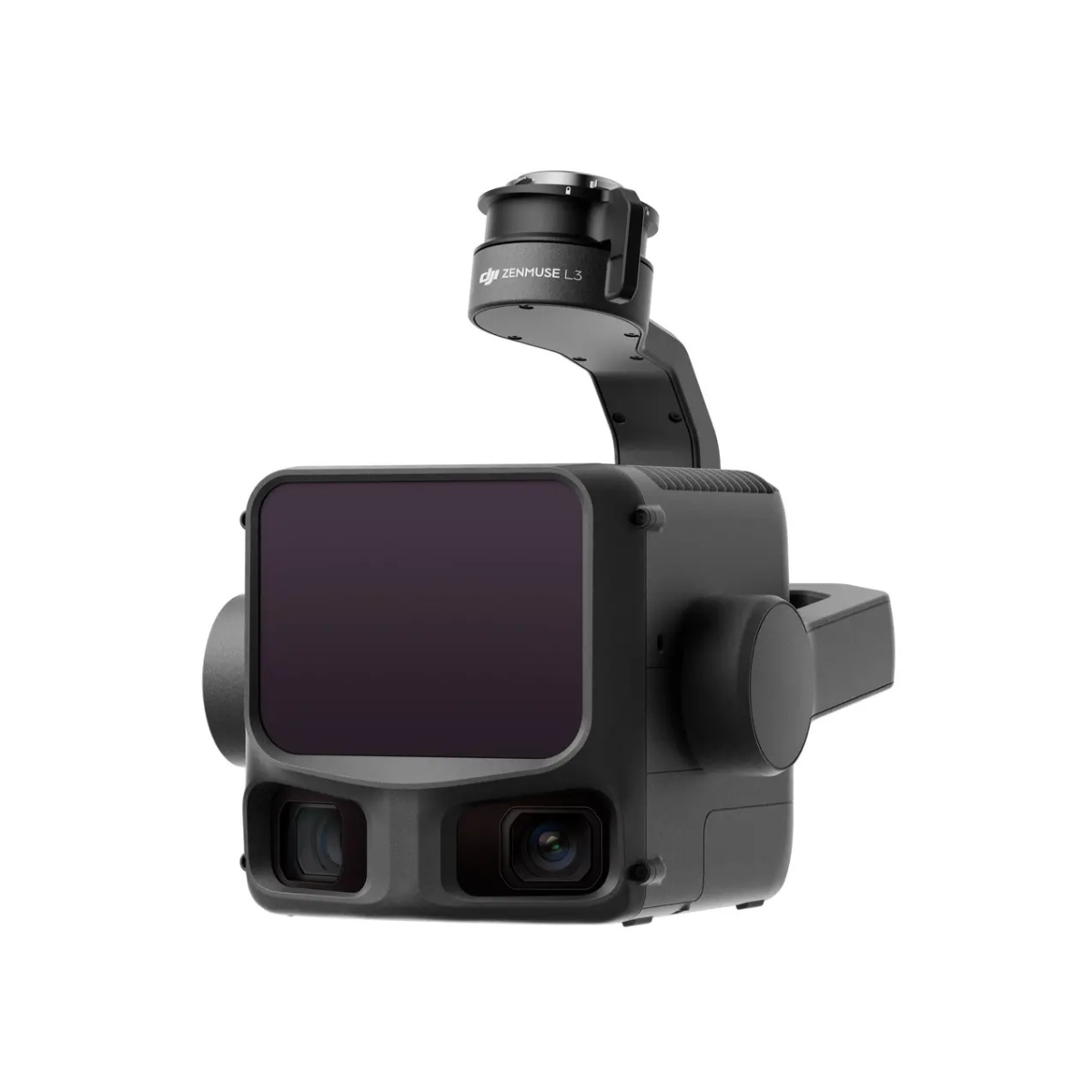

1535nm Long-Range LiDAR
Zenmuse L3 achieves a maximum detection range of 950 m [1] at a pulse rate of 100 kHz, tested under 100 klx ambient light and on objects with 10% reflectivity.
Dual 100MP RGB Mapping Camera System
Equipped with dual 100MP 4/3 CMOS RGB sensors and a mechanical shutter, Zenmuse L3 delivers significantly enhanced accuracy and efficiency. Pixel binning supports an effective 25MP resolution.
High Accuracy
Vertical accuracy is better than 3 cm at 120m altitude, better than 5 cm at 300 m, and better than 10 cm at 500 m [3], easily supporting mapping projects at 1:500, 1:1000, and 1:2000 scales.
High Penetration
Provides superior penetration capability with a smaller laser spot and higher single-pulse energy. For terrain mapping and similar uses, L3 captures more complete ground points for better results.
High Efficiency
When mounted on DJI Matrice 400, Zenmuse L3 delivers outstanding efficiency. At a flight altitude of 300 m, a single flight can cover up to 10 km², enabling up to 100 km² of daily coverage [2].
End-To-End Solution
Zenmuse L3 integrates with DJI's ecosystem to deliver an end-to-end mapping solution. Enjoy simpler, unified workflows from data acquisition and processing to application.
What's in the box
Contains:
1x Zenmuse L3
1x Zenmuse L3 Lens Cap
2x CFexpress Type B Memory Card (1TB)
1x CFexpress Type B Card Reader
1x Zenmuse L3 Storage Case
1x Lens Cleaning Cloth
1x DJI Matrice 400 Carrying Case Insert (For Zenmuse L3)
1x Zenmuse L3 Single Gimbal Connector
1x Screw and tools
1x Zenmuse L3 Gimbal Damper (4 Pcs)
General Specifciations
Product Specifications
System Specifications
Point Cloud System Accuracy: At 120m Flight Altitude:
Vertical Accuracy: 3 cm (RMSE)
Horizontal Accuracy: 4 cm (RMSE)
At 300m Flight Altitude:
Vertical Accuracy 5 cm (RMSE)
Horizontal Accuracy: 7.5 cm (RMSE)
Measured under the following conditions in a DJI laboratory environment:
1. The field contained objects with obvious angular features. DJI Matrice 400 was linked to a position-calibrated D-RTK 3 Multifunctional Station. The flight route was planned using DJI Pilot 2’s Area Route (with Calibrate IMU enabled) with Linear scanning. The flight speed was set to 15 m/s, gimbal pitch to -90°, and each straight segment of the flight route was less than 3300 m.
2. Using exposed hard ground checkpoints that conformed to the diffuse reflection model.
3. DJI Terra was used for post-processing with Optimize Point Cloud Accuracy enabled.
Point Cloud Thickness: 1.2 cm@1σ (120m nadir flight altitude)
2 cm@1σ (300m nadir flight altitude)
Measured in Linear scanning mode, using check points on 80% reflectivity objects, with neither point cloud optimization nor downsampling enabled in DJI Terra. For 6σ, multiply the listed thickness by 6.
Combined Horizontal FOV (Dual RGB Mapping Cameras): 107°
Composed by merging images from two cameras with a 45° optical axis angle between them.
RGB Ground Sampling Distance (GSD): Average Value: 3 cm (300m nadir flight altitude)
For detailed calculation methods, refer to the user manual available on the Downloads page of the official DJI Zenmuse L3 webpage.
Weight: 1.60 kg (without single gimbal connector)
The Zenmuse L3 single gimbal connector weighs 145 g.
Dimensions: 192×162×202 mm (L×W×H)
Measured in the default stabilized state after power-on with non-orthogonal gimbal design.
Power: 64 W (typical)
100 W (max)
Supported Aircraft: DJI Matrice 400 (requires the Zenmuse L3 single gimbal connector)
Ingress Protection Rating: IP54
Operating Temperature: -20° to 50° C (-4° to 122° F)
Storage Temperature: -40° to 70° C (-40° to 158° F)
LiDAR
Laser Wavelength: 1535 nm
Laser Beam Divergence: 0.25 mrad (1/e²)
Laser Spot Size: Φ 41 mm@120 m (1/e²)
Φ 86 mm@300 m (1/e²)
Detection Range: 700 m@10% reflectivity, 350 kHz
950 m@10% reflectivity, 100 kHz
2000 m@80% reflectivity, 100 kHz
1. Range Definition: The range is defined as the distance at which 50% of the emitted laser pulses are detected. If a laser beam hits more than one subject, the total laser transmitter power is split and the achievable range is reduced.
2. Test Conditions: 100 klx ambient light, within the central area of the FOV, using a flat subject with a size larger than the laser beam diameter, a perpendicular angle of incidence, and an atmospheric visibility of 23 km.
3. The maximum detection range is 900 m by default. For a longer range, contact DJI support or an authorized dealer.
Wire Detection Range: 21.6mm Steel Core Aluminum Stranded Wire:
300 m@100 klx, 350 kHz
18.4mm Black PVC Insulated Wire:
100 m@100 klx, 350 kHz
1. Range Definition: The distance at which a fully scanned section of wire in mapping achieves a point density of 4 points per meter.
2. Test Conditions: 100 klx ambient light, 23km atmospheric visibility, LiDAR center FOV perpendicular to the wire, Non-Repetitive scanning mode, drone flying along the wire at 15 m/s, and the wire is clean and not aged.
Ranging Accuracy: Absolute Accuracy: ±10 mm
Repeatability: < 5 mm (1σ)
The above specifications can be met under test conditions of 25° C (77° F) ambient temperature, 350 kHz pulse rate, 80% object reflectivity, and distances of 120 m and 300 m. The actual environment may differ from the testing environment. The figure listed is for reference only.
Minimum Effective Detection Distance: 10 m
Ranging Resolution: 0.8 m
Laser Pulse Emission Frequency: 100 kHz, recommended flight altitude < 500 m
350 kHz, recommended flight altitude < 300 m
1000 kHz, recommended flight altitude < 100 m
2000 kHz, recommended flight altitude < 50 m
Number of Returns: 4, 8, 16 returns (100 kHz, 350 kHz)
4, 8 returns (1000 kHz)
4 returns (2000 kHz)
Cross-Cycle Calculation: 7 times
Scanning Mode and FOV: Linear Scanning Mode: Horizontal 80°, vertical 3°
Star-Shaped Scanning Mode: Horizontal 80°, vertical 80°
Non-Repetitive Scanning Mode: Horizontal 80°, vertical 80°
Laser Safety Classification: Class 1 (IEC 60825-1:2014)
RGB Mapping Camera
Sensor: 4/3 CMOS
Lens: Equivalent Focal Length: 28 mm
FOV: 73.3° (diagonal), 62° (horizontal), 41.2° (vertical)
Aperture: f/2.0-f/11
Shutter: Mechanical Shutter: 2-1/1500 s (f/2.0), 2-1/2000 s (f/2.8-f/11)
Shutter Count: 500,000
Electronic Shutter: 2-1/16000 s
Photo Size: 100 MP: 12288×8192
25 MP: 6144×4096
Minimum Photo Interval: JPEG:
25 MP: 0.5 s
100 MP: 1 s
RAW or JPEG + RAW:
1.2 s
Video Specification: Video Format: MP4 (MPEG-4 HEVC/H.265)
Resolution:
4K: 3840×2160@30fps
FHD: 1920×1080@30fps
Position and Orientation System (POS) System
GNSS Update Rate: 5 Hz
POS Update Rate: 200 Hz
Attitude Error: Yaw Angle: 0.02° (post-processed, 1σ)
Pitch/Roll Angle: 0.01° (post-processed, 1σ)
Positioning Accuracy: Horizontal Accuracy: 1.0 cm + 1 ppm (RTK fix)
Vertical Accuracy: 1.5 cm + 1 ppm (RTK fix)
Supported PPK Differential Data Formats: DAT: Generated in Base Station Mode by D-RTK 3 Multifunctional Station and D-RTK 2
RINEX: v2.1x, v3.0x
RTCM: v3.0, v3.1, v3.2, v3.3 (protocols: MSM3, MSM4, MSM5, MSM6, MSM7)
OEM: OEM4, OEM6
For field operation, ensure the distance between the Multifunctional Station and the aircraft does not exceed 15 km, and the Multifunctional Station supports satellite observation with more than two GNSS constellations.
Gimbal
Degrees of Freedom: 3-axis (pitch, roll, yaw)
Angular Accuracy: ±0.01°
Mechanical Range: Pitch: -135° to +73°
Roll: -90° to +60°
Yaw: -105° to +105°
Structural limit, not controllable range.
Controllable Range: Pitch: -120° to +60°
Yaw: -80° to +80°
Roll is uncontrollable, for stabilization only.
Self-Check Method: Roll Axis: Self-check not required
Yaw Axis: Checks using limit stop
Pitch Axis: Self-check not required
Mounting Method: Detachable DJI SKYPORT (Zenmuse L3 single gimbal connector)
Data Storage
Raw Data Storage: Photo/IMU/Point cloud/GNSS/Calibration files
Standard Memory Card: CFexpress™ Type B Memory Card, sequential write speed 1500 MB/s
Standard Card Reader: Read/write speed > 900 MB/s
Software Ecosystem
Data Collection: DJI Pilot 2
Data Processing: DJI Terra
Data Application: DJI Modify
Cloud Application: DJI FlightHub 2
Data Format: DJI Terra supports exporting point cloud models in the following formats:
Standard Point Cloud Format: PNTS/LAS/LAZ/PLY/PCD/S3MB
DJI Modify supports importing point cloud models in the following formats:
Standard Point Cloud Format: LAS